
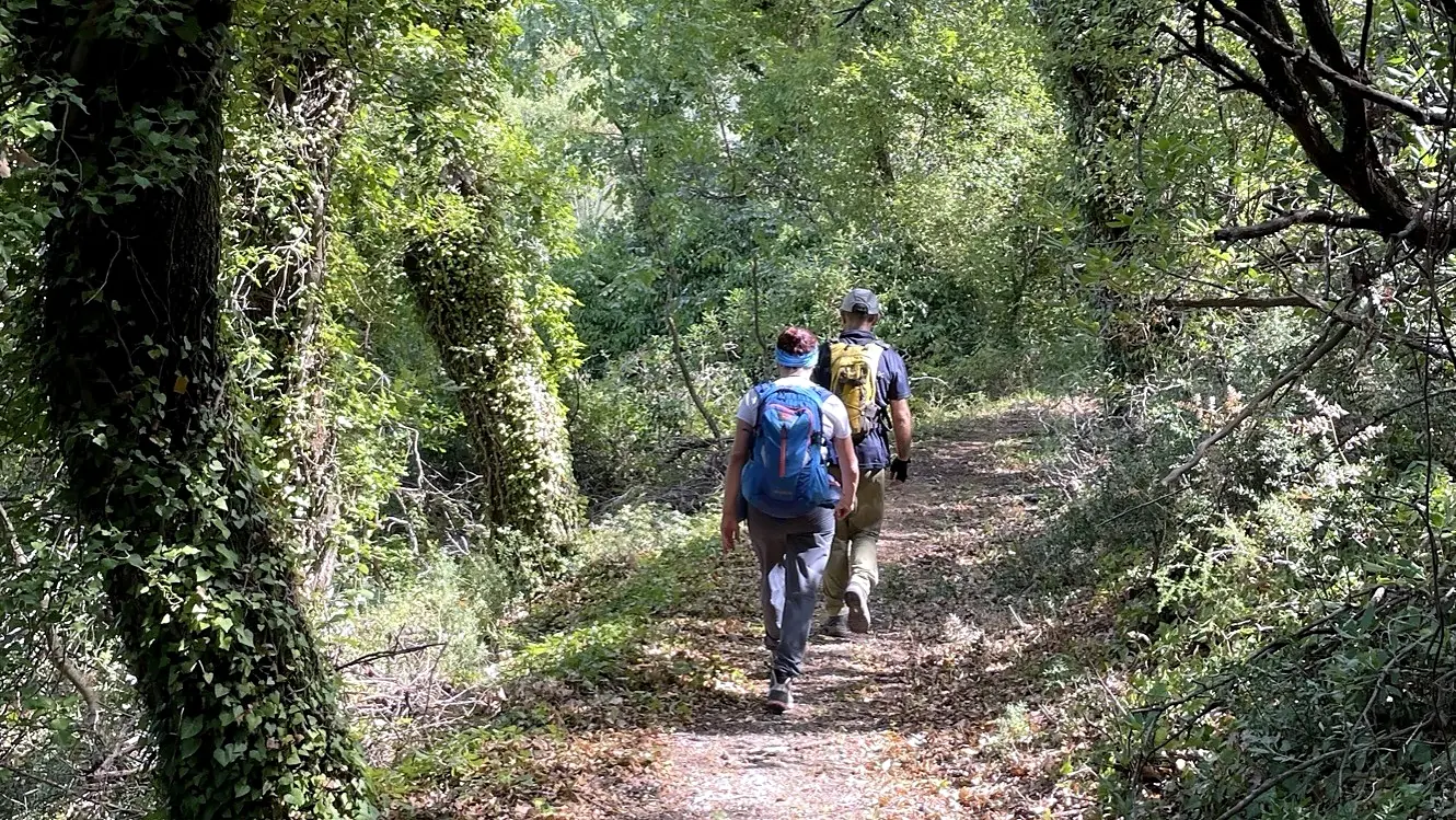
On the trail
Waymarking
Red and white all the way: how to read the signs on the Corfu Paths.
Every Corfu Path is signed in the field with one consistent system: wooden signposts at the junctions and red-and-white paint marks in between. Together with the map and the app, they keep you on the right path.
Step 1
Signposts at the junctions
At every junction a wooden post carries white plates under a red-and-white band. Each plate points to a destination – a village, a beach, a monastery or a spring – and shows the walking time and the distance. Destinations are written in Greek and English.
Walking times are for a relaxed pace without stops.
Step 2
Follow the red and white
Between junctions, red-and-white paint marks on rocks, trees and walls show the way. If you have not seen one for a while, go back to the last mark.
Follow the linesTwo stripes, red above white: you are on the path. Follow the arrowThe stripes end in a point: go that way. Turning pointThe stripes curve: the path turns here. Wrong directionA red cross: this is not the way.
Step 3
Map and app
The paths, their codes (e.g. CC01) and every junction are on the Corfu Paths map. Download a path before you set off and follow it offline.
Take the paths with you
All Corfu Paths are in the free Outdooractive app. Download it, search for "Corfu Paths", save the route offline and follow it with GPS on the trail.


112Emergency
Never walk alone – you walk at your own risk. Please do not remove or damage the signs: other walkers rely on them.
Enjoy your hike!